Our opening times will vary over the Christmas period. Please click here for more details.
Home » Find a centre » Truro (PIP only)
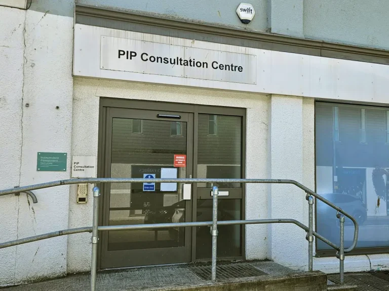
This is a ground floor assessment facility. Sat Nav users should use the postcode TR1 2QD.

The centre is located on the road leading to Moorfield multi-storey car park.
From the A39, take the Fairmantle Street exit at the roundabout next to Aldi. Follow the signs to Moorfield multi-storey car park.
Once on Calenick Street take the first right on to the road leading to the Moorfield multi-storey car park. You will pass the main entrance to the Assessment Centre on the right.
Parking for Blue Badge holders and a drop-off point are available outside the entrance to the centre.
For more detailed driving instructions, we recommend using an online route planner.
For help in planning your journey door-to-door, go to www.traveline.info or call 0871 200 22 33 (call charges apply).
The below provides information on bus and train routes. We recommend checking before travelling.
Truro is served by an extensive bus service offering routes in and out of the city in all directions. The nearest bus stop is situated in Victoria Square outside Argos.
From here, head west on Victoria Square towards Burger King on the corner of Calenick Street, then turn left onto Calenick Street. Take the first left and the Assessment Centre will be on your right.
Truro station is approximately 0.5 miles from the Assessment Centre. To connect from the station, take either the 47, 304, PR1, T1 or U1 bus from outside the station to the Museum stop.
Go east on River Street towards Victoria Square, turn right onto Victoria Square and turn left onto Calenick Street. Take the first left and the Assessment Centre will be on your right.
For details of station services and facilities go to www.nationalrail.co.uk/stations.